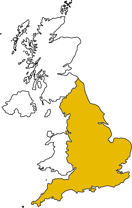
Green Belt Statistics
Data Type:Administrative
This dataset offers statistics on designated green belt land in local authorities in England. It gives total land area designated, change since previous year and trend in area of green belt since 1997
Time
Data from 2010/11 to 2014/15 are provided on the DCLG website. Archived data at the local authority level are provided from 2006 in the National Archive. The most recent dataset gives the headline figure for England for 1997 and 2003 onwards.
Dataset Quality
Guidance is supplied to authorities to ensure clarity in recording. Error may be created by mismatches between the area estimates and the actual boundary supplied by the authority. This can occur because of the different geographical software used to define the boundaries. These discrepancies are rare and are investigated. Errors from delayed submissions are minimised by the high response rate to the request for information (99% in 2014/15)
Estimates of Green Belt land in individual local authorities in England are collected annually on the 'Annual Green Belt' (AGB1) return via Interform, the Department's housing and planning electronic data collection system. Authorities were asked to confirm their published Green Belt estimates for 2013/14 and indicate whether they had changed the Green Belt boundary in 2014/15. If the Green Belt boundary had changed, or if the 2013/14 estimated area had been revised, and these differed by more than 10 hectares from the area previously published, authorities were contacted to obtain an explanation and to provide a revised geographic boundary file (shape file).
Dataset Access and Use
Freely accessible data tables are released with statistical release publications. Data from 2010 onwards are provided on the DCLG website. Earlier datasets are available in the National Archive.
Government attitudes to research use of their data appears favourable.
Geography
Coverage: England
Units: Local authority
This administrative dataset covers all local authorities in England
